Day 12: From Bryce to Page
Tuesday, July 14th, 2009
The original plan for the day was to spend the morning in the Bryce Canyon park, have lunch in one of the restaurants near the entrance of the park, and then drive to Page, AZ in the afternoon, following the route mapped above. But since we already had very good photo opportunities in all the view points of the park, both at sunrise and at sunset, we decided instead to leave Bryce right after breakfast.
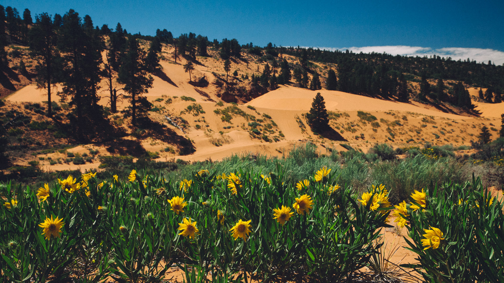
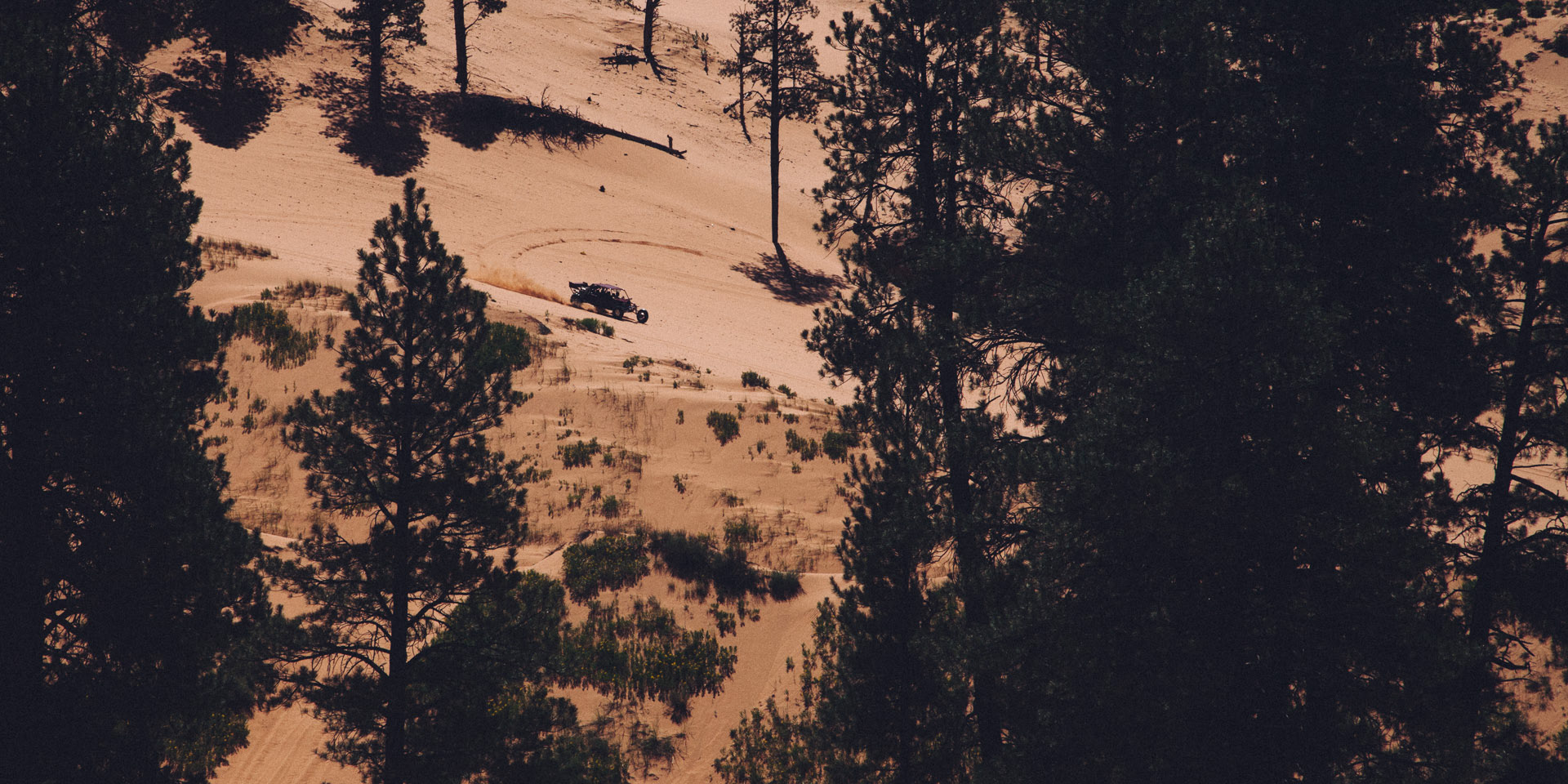
Our first stop was the Coral Pink Sand Dunes State Park. The sand comes from Navajo sandstone from the geologic period call Middle Jurassic. The same iron oxides and minerals that give us spectacular red rock country are responsible for this landscape of coral pink sand.

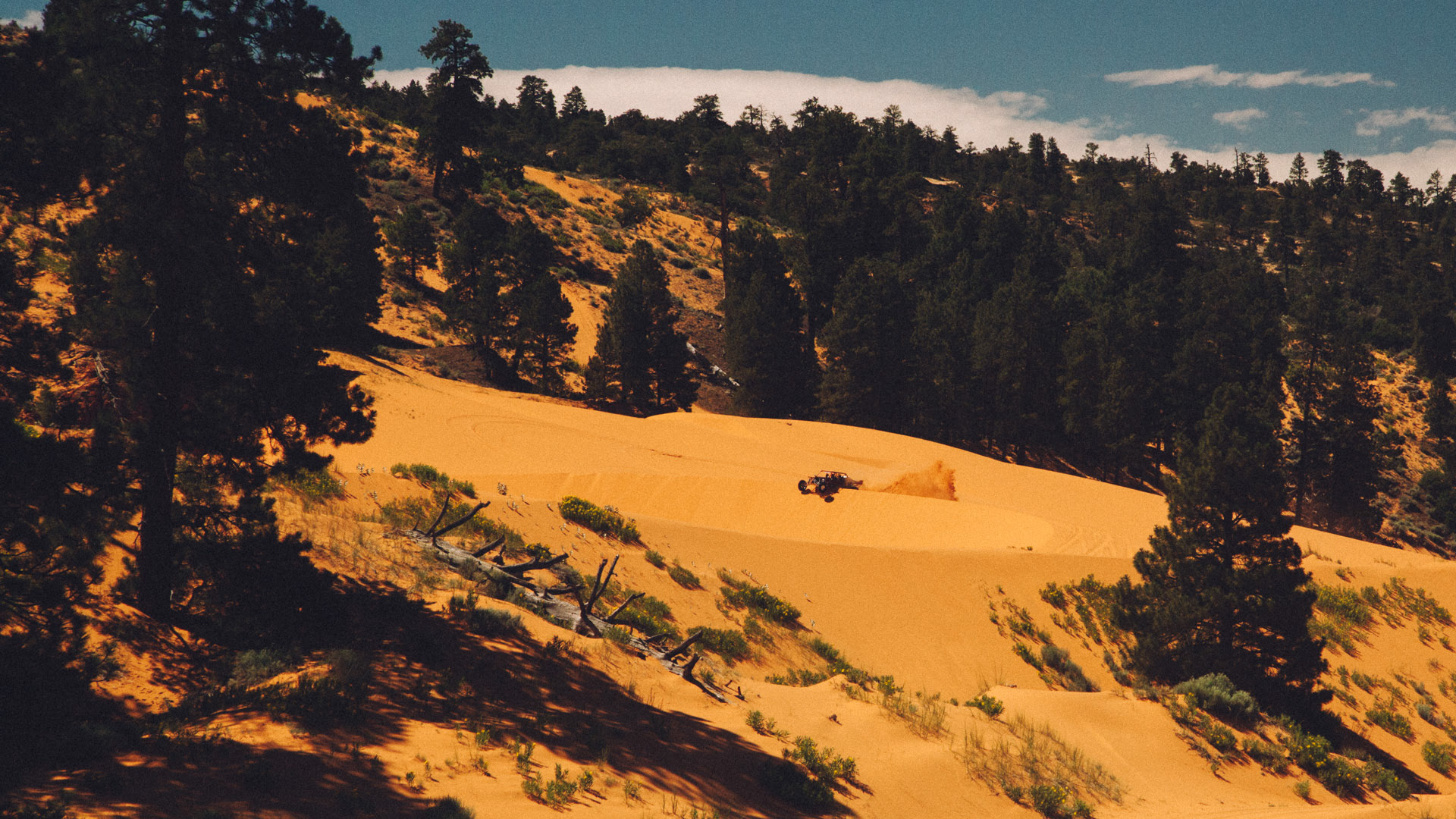
As you can see from these pictures, this park is also a very popular destination for ATV riders. About 90% of the dunes are open for riding, while all of the dunes are open for hiking and just playing in the sand.


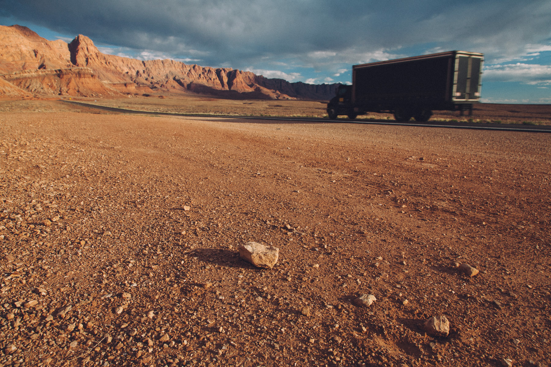
The temperature that bright sunny morning had already risen to almost 100 degrees, so we didn't spend too much time in this park. Right after leaving, while crossing the small town of Kanab, we noticed a sign that indicate that we were not too far from the North Rim of the Grand Canyon. It wasn't in our plans to visit the northern side of the canyon, but since we had time to spare, we took the detour and drove south along Hwy 89A instead of following Hwy 89 west.
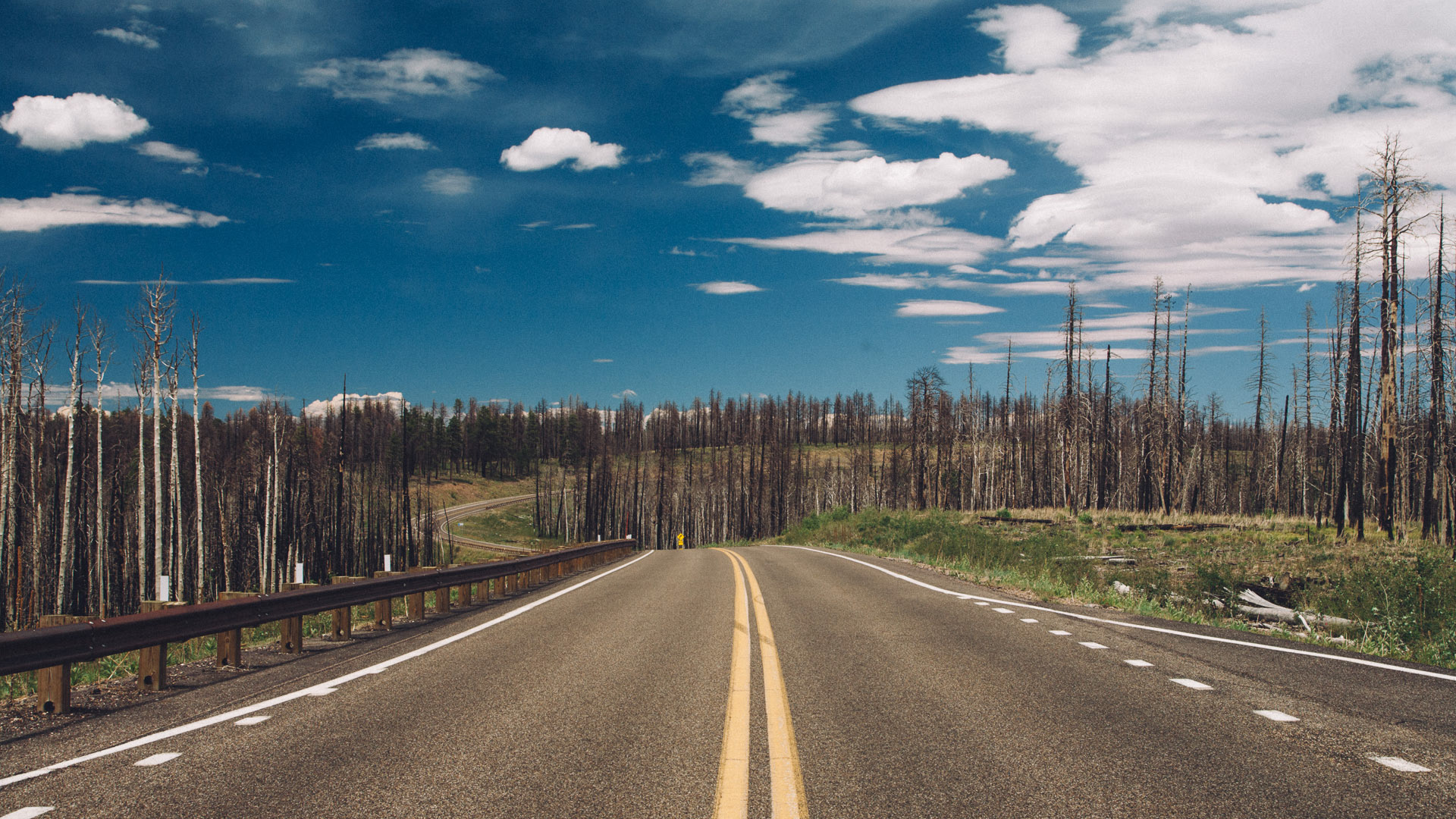
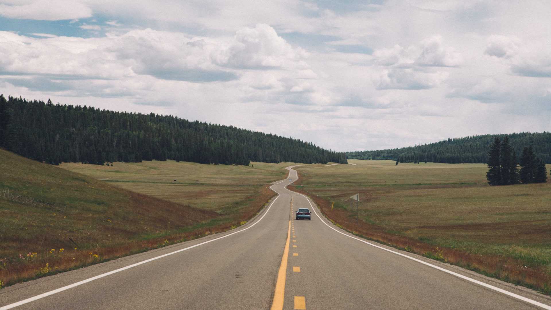
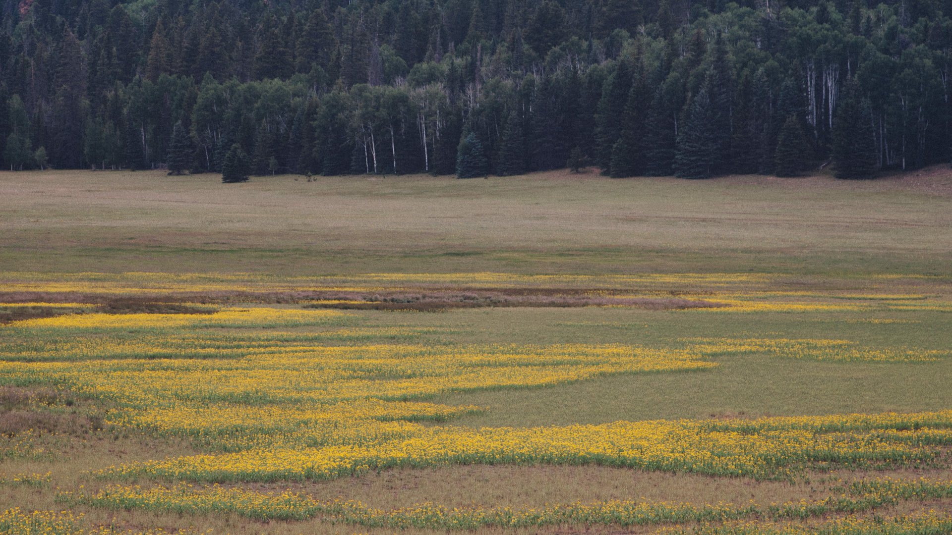
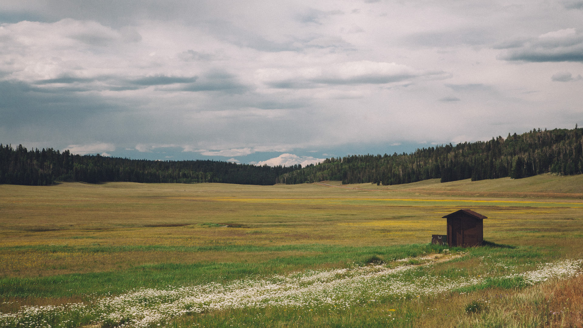
From the 4800 ft altitude of Kanab, Hwy 89A slowly climbs up to 6000 ft altitude across the plains. Then, while crossing miles of burnt forest first, and some really gorgeous meadows, filled with wildflowers, we kept climbing all the way to 8800 ft (2600 m) and then down to the 8200 ft altitude of the North Rim Visitor Center.
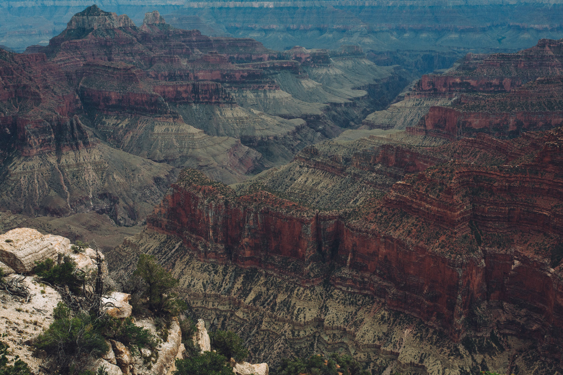
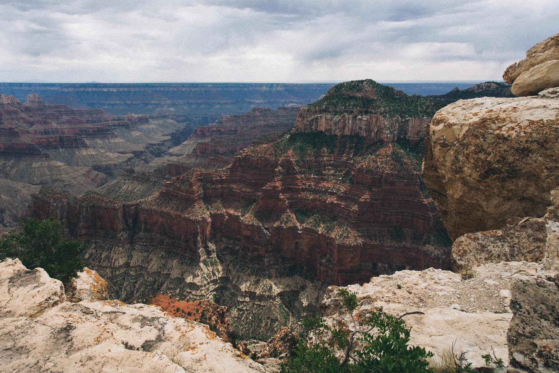
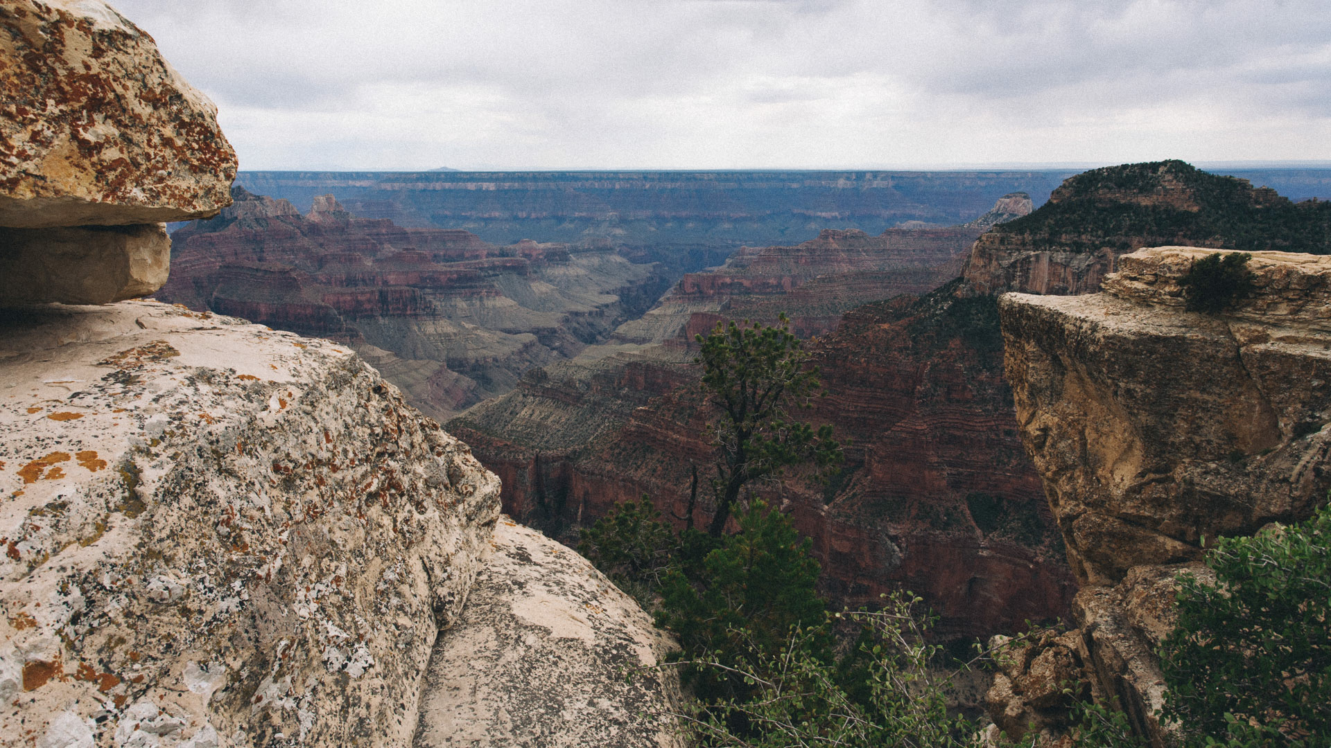
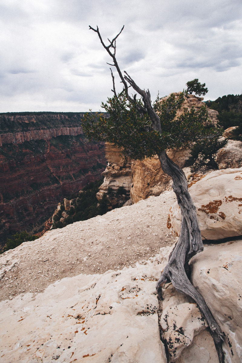
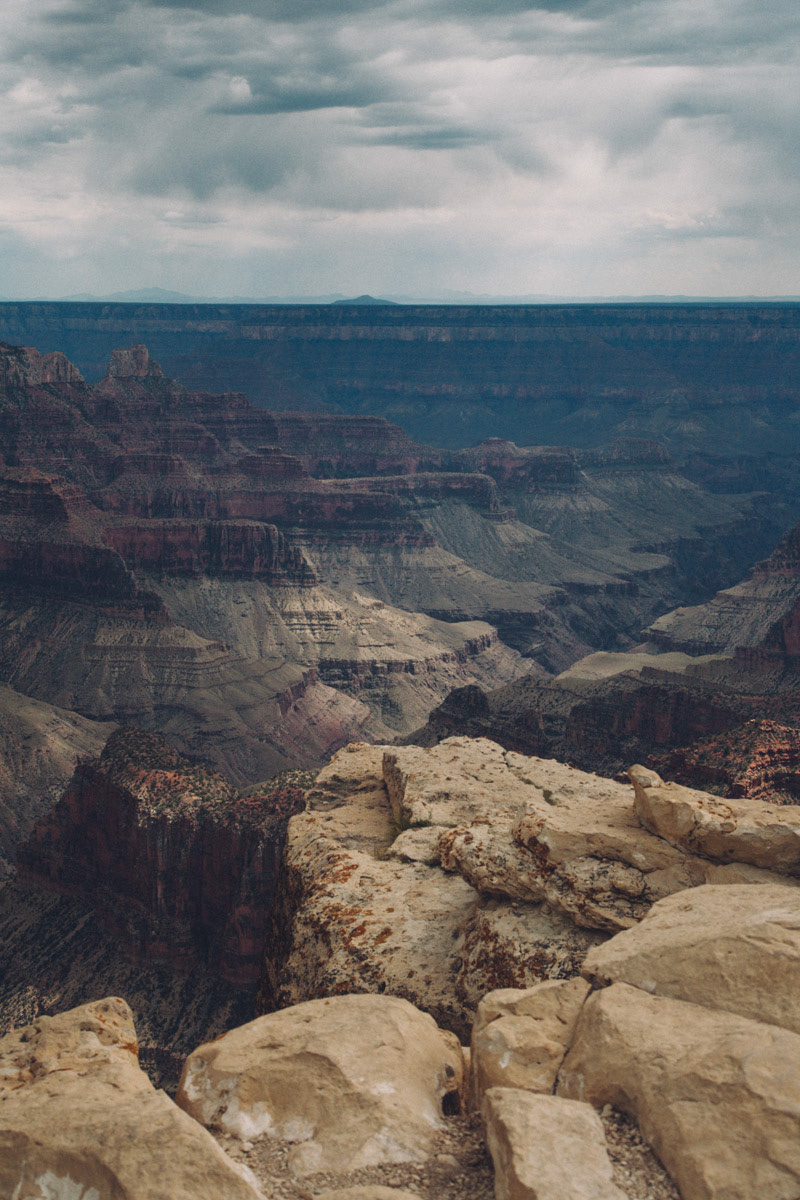
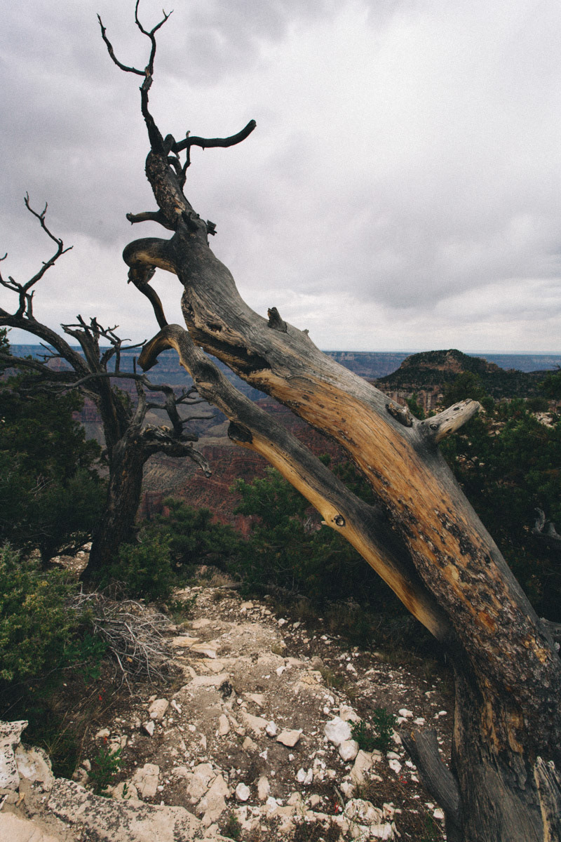
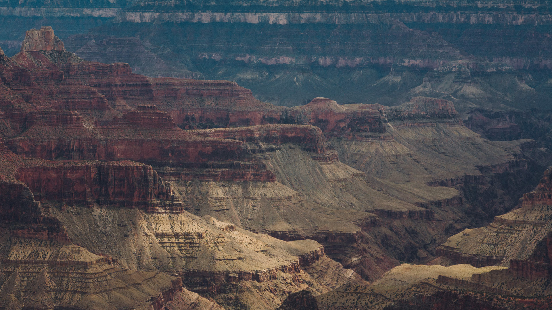
The North Rim is not as popular with tourists, as the South Rim is, mainly because it's farther away from Las Vegas, and because it offers only a couple of view points.
We parked and took the brief walk that, from the parking lot, brings you all the way to a balcony that overlooks the Grand Canyon. The time of the day when we got there, and the overcast sky didn't help with the photography. Nonetheless, we enjoyed the view and especially we loved the drive through those spectacular meadows.
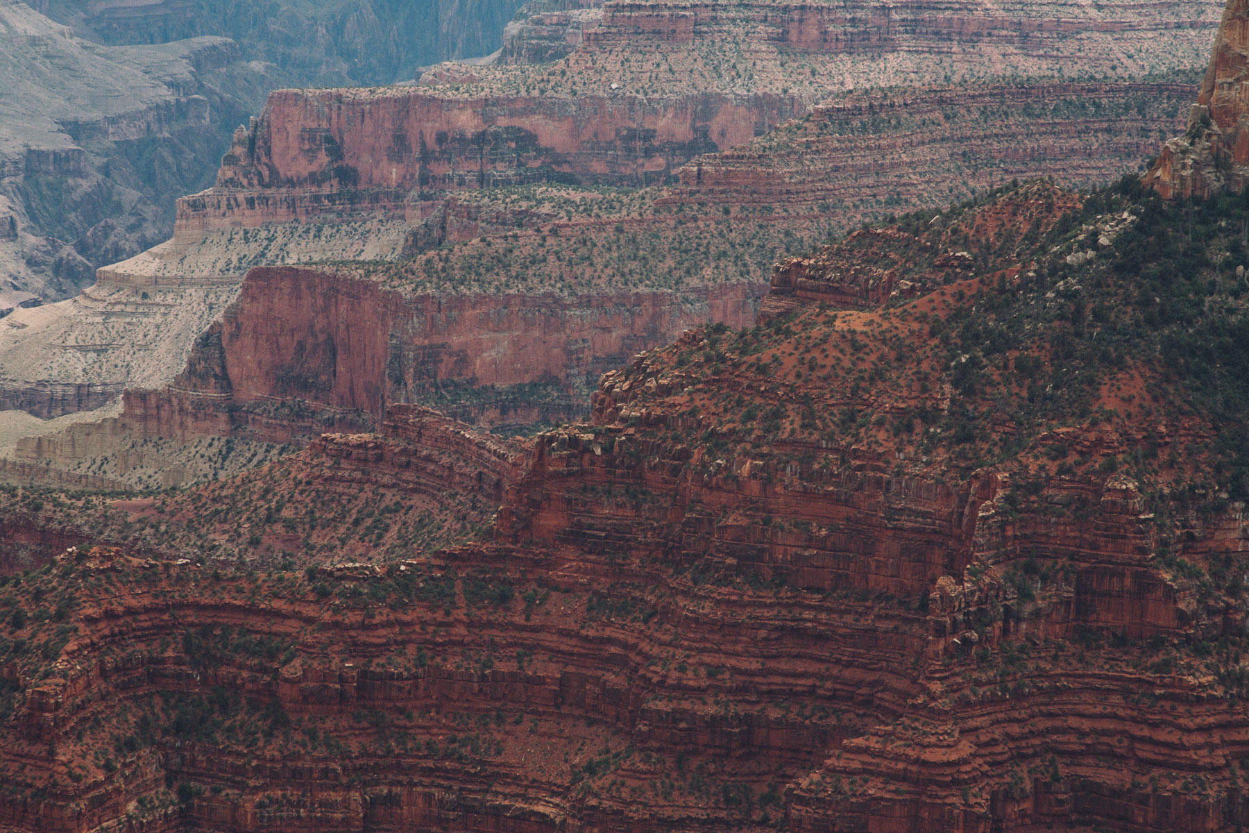
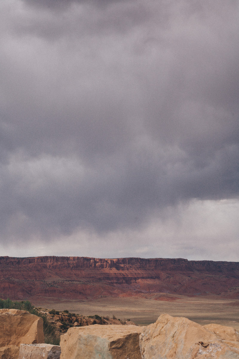
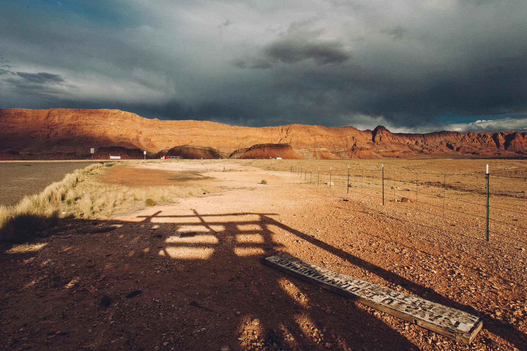
While the sky wasn't particularly interesting on the northern rim, by the time we reached the Vermilion Cliffs on route 89A, it turned into a beautiful palette of grays initially, followed by an array of shades of pink and gold.
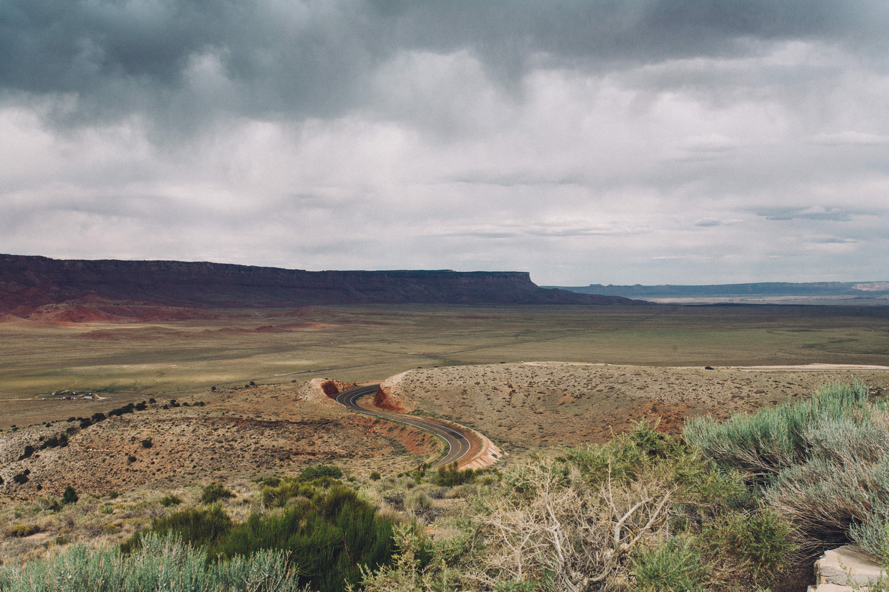
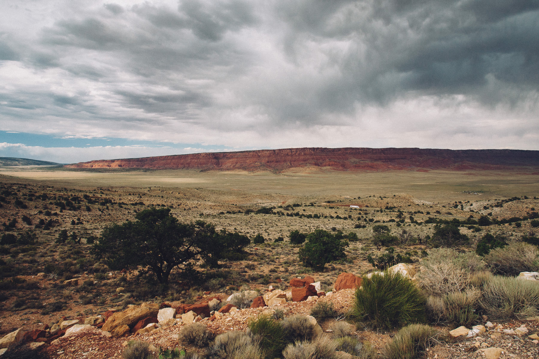


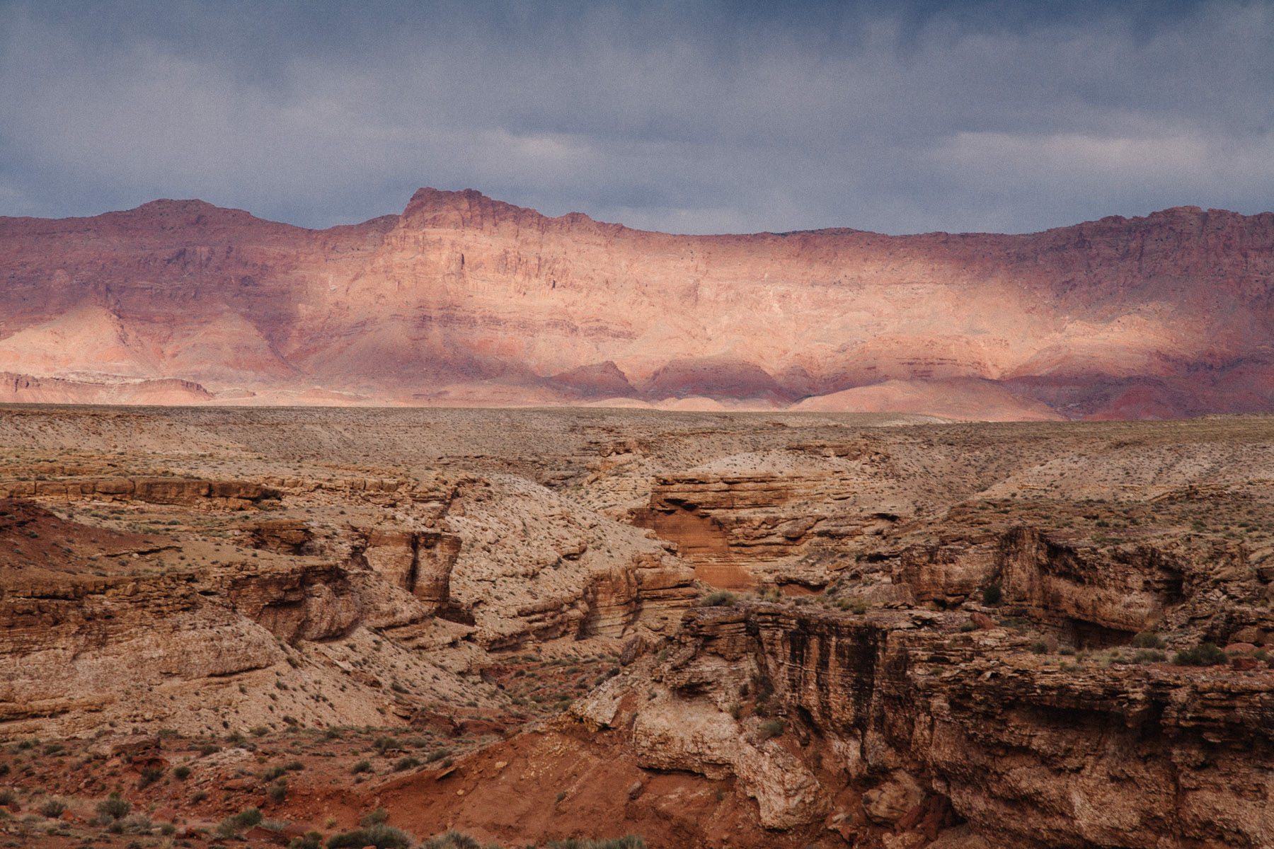

Once we reached Marble Canyon, where Hwy 89A crosses the Colorado River, the colors became really intense. Few minutes later, right after we had reached Hwy 89, heading north towards Page, the sun peaked through the dark clouds, treating us with a truly breathtaking view of the canyon.


A couple of miles south of Page, there is a small parking lot on the side of the road, which is the access point to the hike that brings you to the famous Horseshoe Bend, a breathtaking (and incredibly scary) viewpoint over the Colorado River.
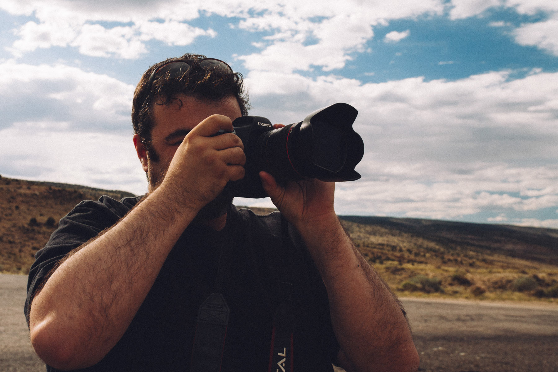
It should really be photographed in the morning, but we stopped anyways and walked all the way to the viewpoint. Not having any sort of protection, and since I am not really a big fan of heights, I literally had to lie down on the ground, mount my camera on the tripod and extend it over the ledge to capture this image.

Back to: 5575 Miles - Day by Day